
When did you get involved with CEDR?
I’ve been volunteering with CEDR since August 2019, after seeing CEDR’s response to wildfires in the west and hurricanes in the east.
What are your activities and what do they involve?
I work with CEDR’s maps and GIS applications, primarily in ArcGIS Online. During activations, myself and other volunteers use these applications to map and update shelter locations in real time. Our shelter map is shared with the public to provide a single place to see all shelter locations, which often cross jurisdictional lines. The feature layers we maintain are made available to other organizations that may wish to use them in their own maps and apps.
I also participate in data mining during activations, which involves monitoring for new information about evacuations, shelters, and resources for those affected by a disaster.
What motivates you to stay involved?
Providing timely, accurate information to the public during a disaster is my goal at CEDR. Having been through many wildfire seasons growing up in California, a lack of current information can be dangerous, not to mention extremely frustrating. With new technology being applied to track and respond to disasters, there is more information to share and more places to share it than ever before. The challenge now lies in separating the good information from the bad, and helping accomplish that goal is what motivates me to stay involved with CEDR.
Of what contribution or achievement are you most proud?
During 2020, I revamped CEDR’s shelter mapping workflow, to move from a spreadsheet-based database to a truly GIS-based database. Combining the spreadsheets from all previous activations gave me several hundred shelter locations to start with, and in 2020 alone our volunteers (including myself) mapped more than 700 new shelter locations and over 200 evacuation center locations.
Using the tools available in ArcGIS Online, I was able to streamline the data entry process, so that we no longer have to manually enter information such as the county, state, and latitude and longitude of each shelter. In addition, relevant information is now easier for the public to see, such as the date and time each shelter location was last updated, and a link to Google Maps that will route someone from their location to a shelter.
In your opinion, what is the most important work that this organization does?
Sharing critical – and accurate – information quickly during a disaster response is the most important function of CEDR, in my opinion. While social media allows for easier and more frequent information sharing, it can also lead to misinformation spreading very quickly, which can have a real impact on peoples’ lives during a disaster. CEDR provides an important function by reviewing multiple sources to ensure we share only verified information.
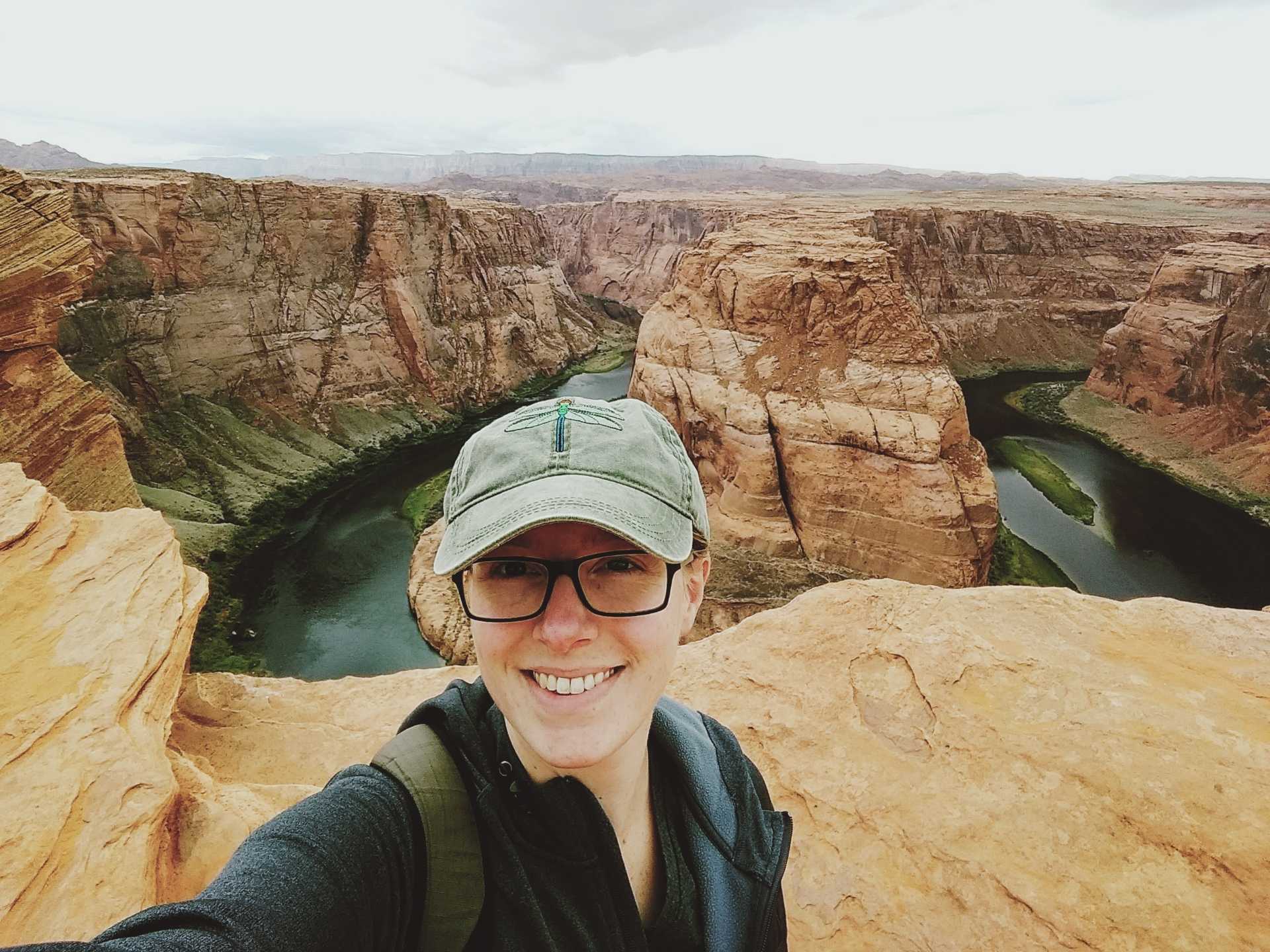
What do you do when you aren’t working and volunteering?
In my free time, I enjoy spending time outdoors – hiking, camping, kayaking, anything that allows me to get out into nature (bonus points for anywhere without cell service). I also love reading; there’s nothing better than a used bookstore on a rainy day.